
Independent route database
Every via ferrata in Bosnia & Herzegovina
30 routes with published grades, cable lengths, timings and coordinates. Explore the map, compare the facts and open a detailed route page before you choose.
30
documented routes
29
shown on the map
7
guided by BOA
Interactive via ferrata map
29 routes
Choose a route from the list or select a marker on the map. 1 more route has no reliable published coordinate.
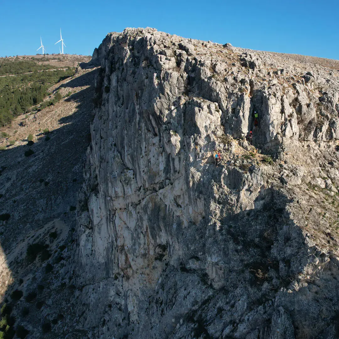
Fortica
Mostar · A/B
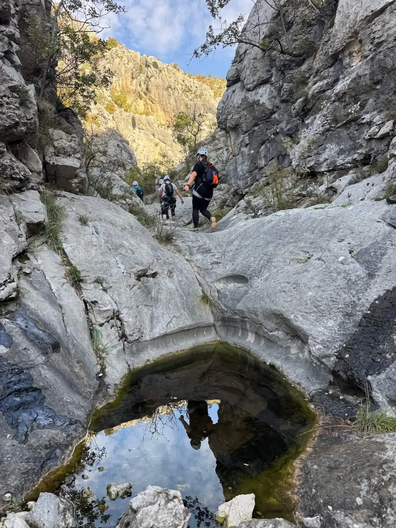
Vulin Potok
Blagaj · A/B
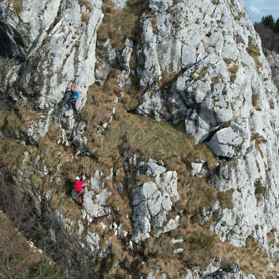
Bukovik - Bijela Stijena
Sarajevo · B
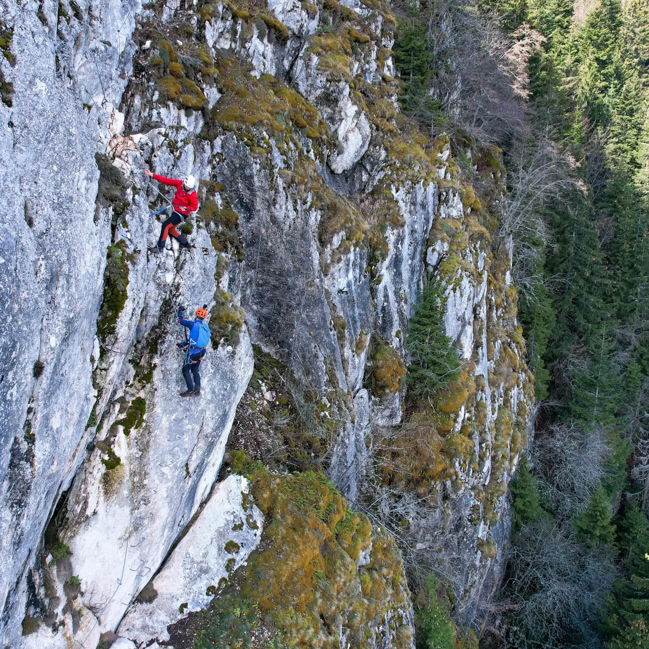
Bijele Stijene
Sarajevo · B/C
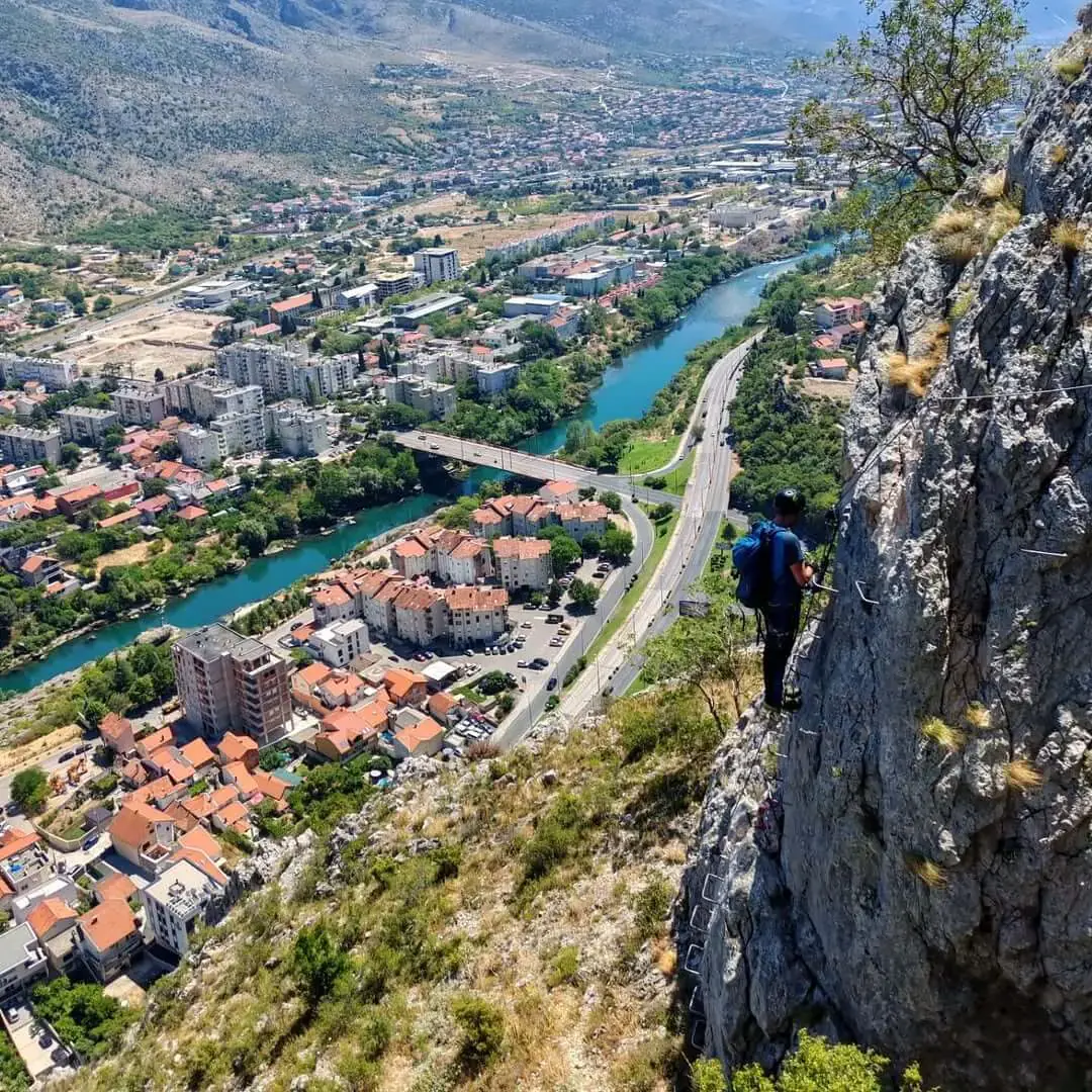
Hum
Mostar · B/C
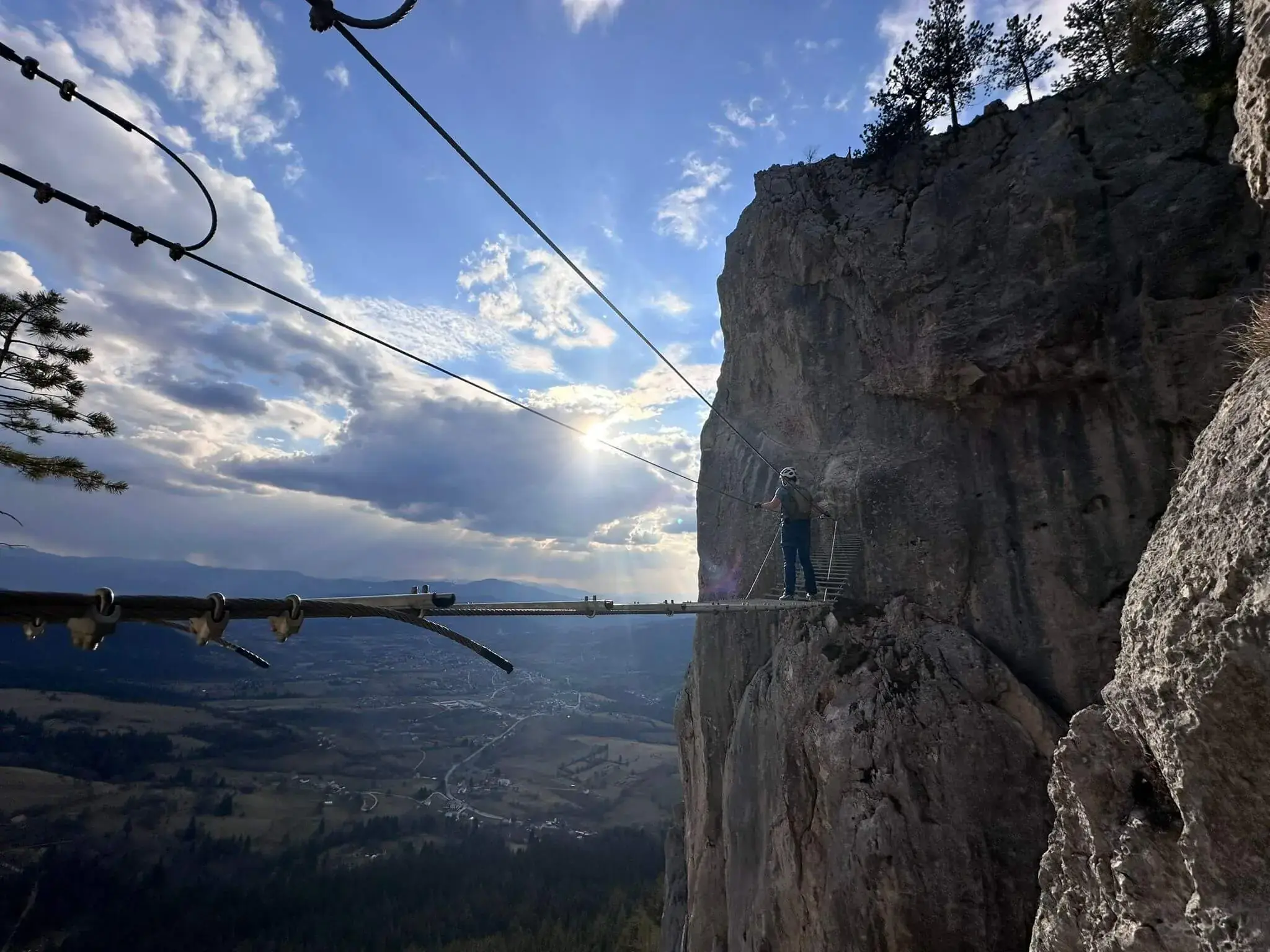
Sokolov Put
Sarajevo · B/C
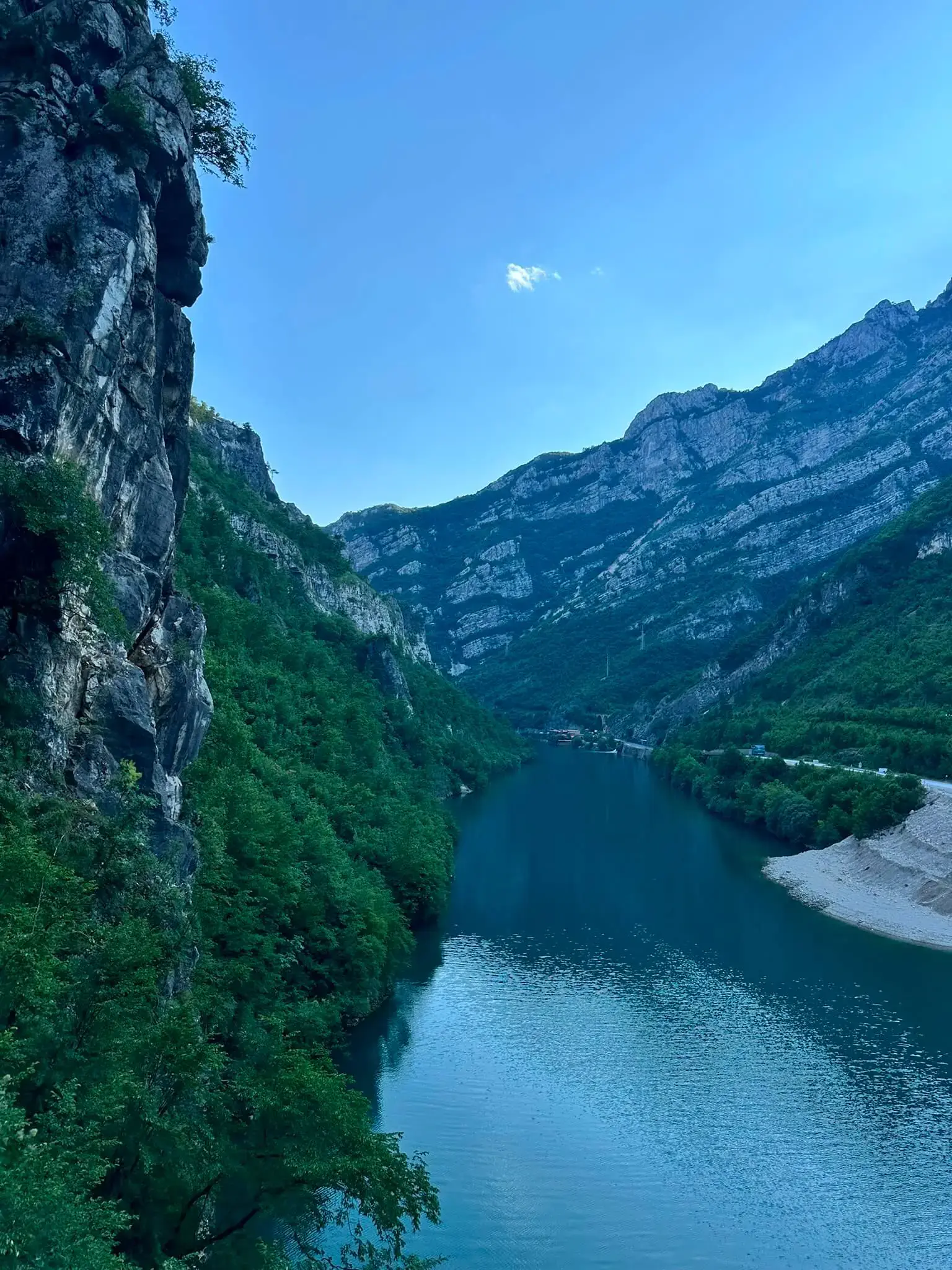
Prenjska Vrata
Jablanica · D
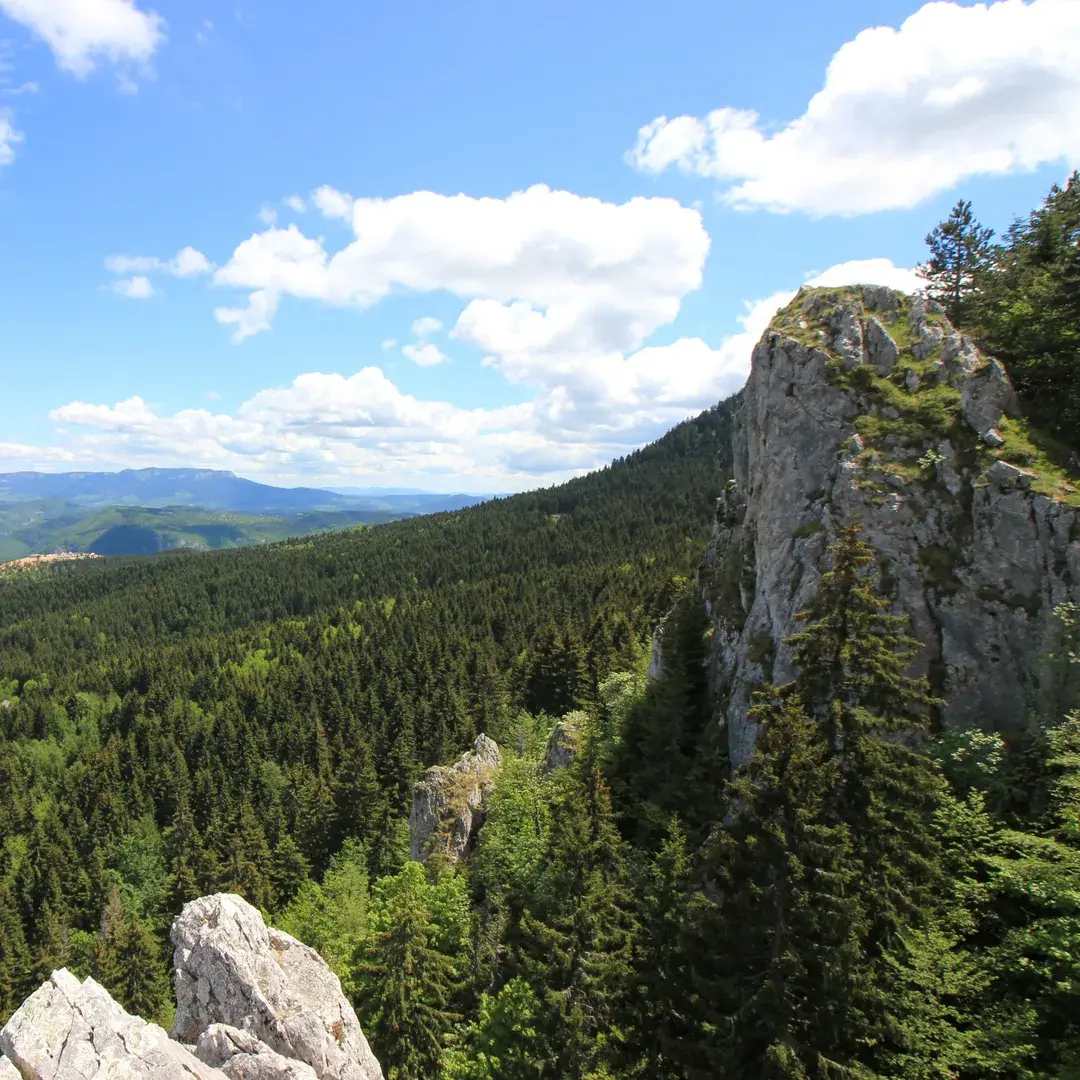
Josif Fleger
Sarajevo · A/B
Opine
Mostar · A/B
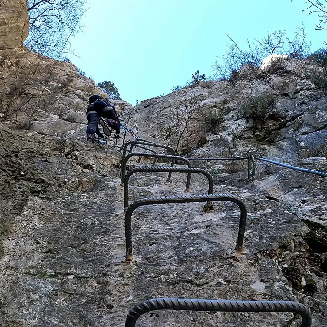
Podružje - Ilirski Put
Mostar · A/B
Veliki Kuk
Mostar · A/B
Bijeli Kamen - Bršljan B
Prijedor · B
Kamena Glava
Trebinje · B
Mala Orlica
Trnovo · B
Armin Gazić
Mostar · B/C
Kuk
Foča · B/C
Ormanj
Pazarić · B/C
Osobac
Konjic · B/C
Paklarske Stijene
Travnik · B/C
Paolo Dieci
Kladanj · B/C
Vučji Zub
Trebinje · B/C
Bijeli Kamen
Prijedor · C
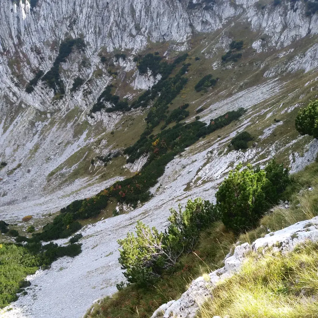
Kotlovi
Trnovo · C
Lučica
Sarajevo · C
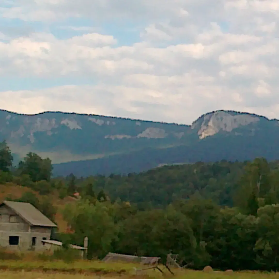
Mrki Medvjed
Mokro · C
Bijeli Kamen - Bršljan A
Prijedor · C/D
Srce Veleža
Nevesinje · C/D
U Spomen Drugu
Hadžići · C/D
Peć Mlini
Grude · E/F
Compare every route
The full database, sortable
Sort by grade, cable length, vertical gain or crossing time. An em dash means the figure has never been published, not that the value is zero.
| Season | |||||||
|---|---|---|---|---|---|---|---|
| ForticaMostarBOA guides it | A/B | 200 m | 80 m | 10 min | 30 min | 20 min | Year-round |
| Vulin PotokBlagajBOA guides it | A/B | 500 m | 150 m | 10 min | 45 min | 30 min | April-October |
| Josif FlegerTrebević | A/B | 250 m | 90 m | 15 min | 30 min | 20 min | April-September |
| Mala KutlačaFoča | A/B | — | — | — | — | — | April-October |
| OpineMostar | A/B | 2000 m | 300 m | 15 min | 60 min | 45 min | Year-round |
| Podružje - Ilirski PutMostar | A/B | 1000 m | 200 m | 15 min | 60 min | 45 min | April-October |
| Veliki KukČvrsnica | A/B | 700 m | 500 m | 120 min | 120 min | 360 min | April-October |
| Bukovik - Bijela StijenaSarajevski OzrenBOA guides it | B | 105 m | 70 m | 30 min | 30 min | 30 min | Year-round |
| Bijeli Kamen - Bršljan BKozara | B | 30 m | 20 m | 40 min | 5 min | 5 min | Year-round |
| Kamena GlavaLeotar | B | 200 m | 130 m | 15 min | 60 min | 10 min | Year-round |
| Mala OrlicaTreskavica | B | 120 m | 70 m | 30 min | 20 min | 5 min | April-October |
| Bijele StijeneTrebevićBOA guides it | B/C | 180 m | 90 m | 15 min | 45 min | 20 min | April-October |
| HumHumBOA guides it | B/C | 600 m | 350 m | 1 min | 90 min | 60 min | Year-round |
| Sokolov PutRomanijaBOA guides it | B/C | 350 m | 160 m | 20 min | 90 min | 20 min | Year-round |
| Armin GazićVelež | B/C | 350 m | 180 m | 210 min | 60 min | 120 min | Year-round |
| KukVolujak | B/C | 830 m | 200 m | 80 min | 120 min | 60 min | April-October |
| OrmanjOrmanj | B/C | 80 m | 60 m | 35 min | 20 min | 15 min | April-October |
| OsobacPrenj | B/C | 1200 m | 480 m | 150 min | 180 min | 30 min | April-October |
| Paklarske StijeneVlašić | B/C | 500 m | 200 m | 120 min | 90 min | 120 min | April-October |
| Paolo DieciKladanj | B/C | 200 m | 150 m | 10 min | 40 min | 45 min | Year-round |
| Vučji ZubOrjen | B/C | 210 m | 120 m | 150 min | 60 min | 45 min | April-October |
| Bijeli KamenKozara | C | 26 m | 26 m | 30 min | 10 min | 5 min | Year-round |
| KotloviBjelašnica | C | 160 m | 82 m | 50 min | 90 min | — | June-October |
| LučicaSarajevski Ozren | C | 70 m | 62 m | — | 20 min | — | Year-round |
| Mrki MedvjedRomanija | C | 300 m | 100 m | 60 min | 60 min | 100 min | April-October |
| Bijeli Kamen - Bršljan AKozara | C/D | 60 m | 40 m | 40 min | 30 min | 5 min | April-October |
| Srce VeležaVelež | C/D | 500 m | 350 m | 120 min | 120 min | 240 min | April-October |
| U Spomen DruguHadžići | C/D | 115 m | 80 m | 5 min | 20 min | 10 min | Year-round |
| Prenjska VrataPrenjBOA guides it | D | 250 m | — | 20 min | 90 min | 90 min | April-October |
| Peć MliniGrude | E/F | 260 m | 150 m | 5 min | 120 min | 15 min | Year-round |
Sarajevo: compact half days
Trebević, Bukovik and Lučica fit around a city stay; Sokolov Put is the region's more exposed option.
Compare Sarajevo routesHerzegovina: a longer season
Fortica, Hum and Vulin Potok benefit from the milder Mostar climate; Prenjska Vrata is a full mountain day.
Compare Mostar routesA marker is only the start
Weather, approach, exposure and group ability matter more than distance on the map. Ask before choosing by location alone.
Ask which route fitsShare the resource
Put this map on your own site
Free to embed on any site, commercial or not. Keep the credit line so visitors can find the maintained source.
Embed code
<iframe src="https://boa.ba/embed/via-ferrata-map" width="100%" height="720" style="border:0" loading="lazy" title="Via ferrata map of Bosnia & Herzegovina"></iframe>
<p>Via ferrata map by <a href="https://boa.ba/via-ferrata-bosnia-map">BOA – Bosnia Outdoor Adventures</a></p>Map FAQs
Using this route database
How many via ferrata routes are there in Bosnia & Herzegovina?
This page lists every route we know of, including several built recently. If you know of one that is missing, tell us and we will add it.
Which routes are closest to Sarajevo?
Bijele Stijene and Josif Fleger on Trebević are the closest, followed by Bukovik and Lučica on Sarajevski Ozren, U Spomen Drugu at Hadžići and Ormanj above Pazarić. Sokolov Put on Romanija is a longer drive east.
Which routes are near Mostar?
Fortica and Hum sit directly above the city, Vulin Potok is at Blagaj, Opine and Podružje are short drives out, and Armin Gazić climbs Velež. Prenjska Vrata near Jablanica is a full mountain day.
Are these routes maintained?
Cable and anchor condition changes and no page can tell you the state of a route today. We say on each route page whether BOA has climbed it, and where the figures came from when we have not.