Via ferrata · Posušje
Via Ferrata Brina
Also known as Via Ferrata Brina, Ričina.
Route overview
- Grade
- C/D
- Cable length
- 230 m
- Vertical gain
- —
- Approach
- 2 h
- Crossing
- —
- Descent
- 30 min
Season: April-October
Published sources agree on C/D and describe sustained vertical and overhanging sections. Not a first via ferrata.
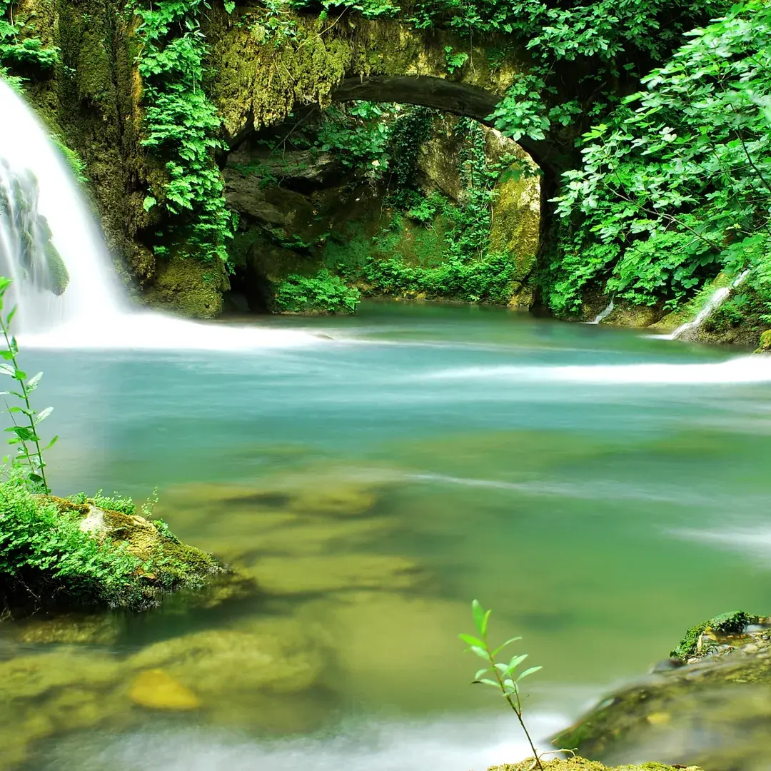
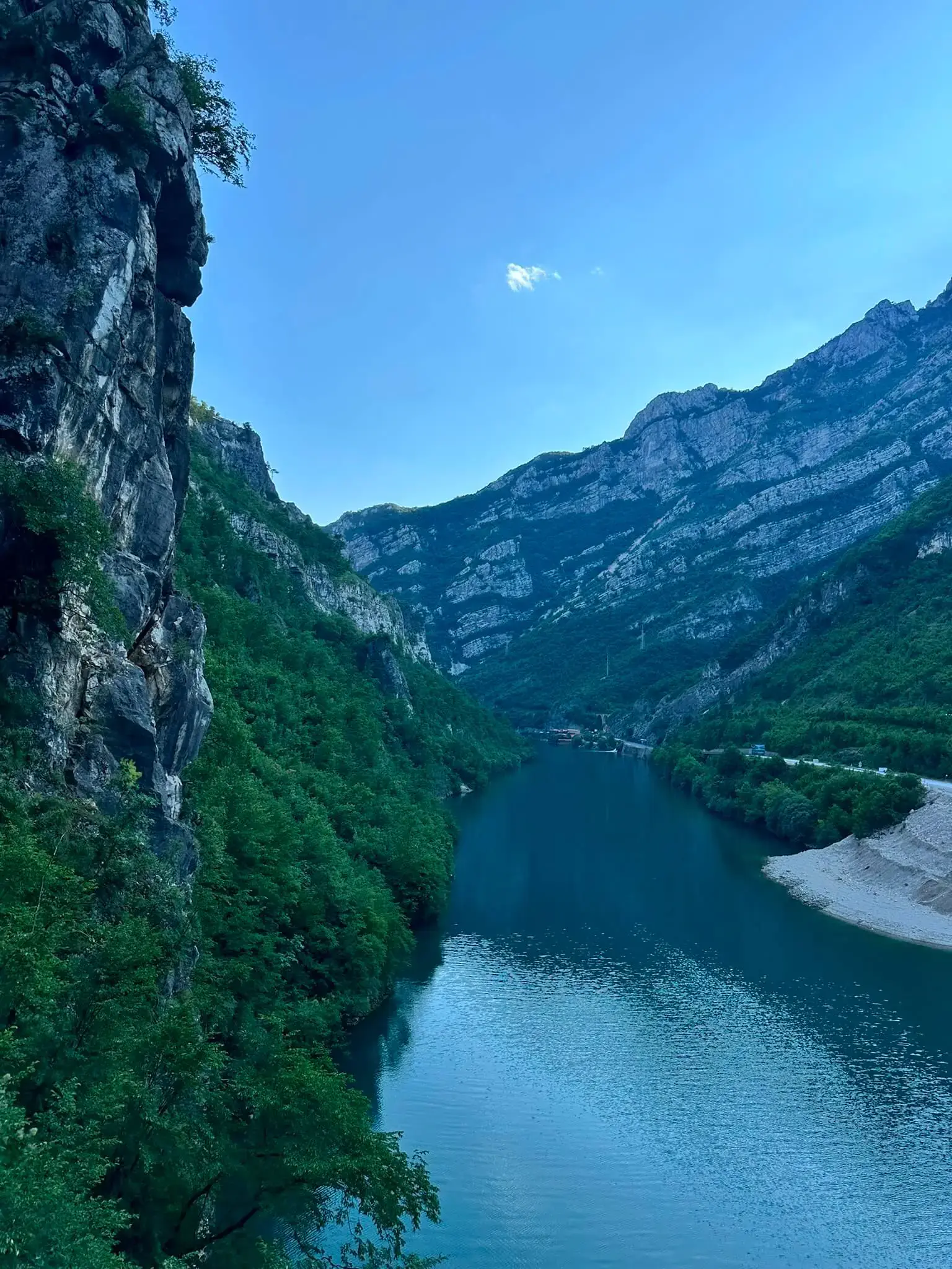
Brina runs through the Ričina gorge near Posušje in west Herzegovina, on the Brina river. It is the longest and most heavily equipped canyon route in the country, built with rope bridges and pendulum crossings rather than as a straight cabled line, and it is graded C/D with sustained vertical and overhanging ground.
The drive goes from Posušje towards Blidinje, then left onto the Tribistovo road. The last few kilometres are maintained gravel and end at a parking area. Published figures put the approach at about two hours, the cable at 230 metres and the exit at about 30 minutes; the height gain is not published and the approach time in particular varies between sources.
BOA has not inspected this route. It is listed here for completeness of the national record, with the numbers taken from published route databases rather than from a first-hand visit.
How we know this
BOA has not inspected Brina. The figures on this page come from published sources, not from our own survey. Cable and anchor condition changes. Nothing here is a substitute for checking the route yourself before you climb.
Condition reports
Written by visitors who have climbed Brina, not by BOA, and not checked by us before they appear. Treat them as one climber's account on one day: useful, but never clearance to climb.
No condition reports yet. If you have climbed this route, yours would be the first.
Climbed it? Add a report
Keep exploring
Other routes close to this one
Distances are straight-line, not driving.