Via ferrata · Sarajevo
Via Ferrata Lučica
Also known as Vodopad Troskok.
Route overview
- Grade
- C
- Cable length
- 70 m
- Vertical gain
- 62 m
- Approach
- —
- Crossing
- 20 min
- Descent
- —
Season: Year-round
Signed A/B/C. The route mixes all three, with C the hardest sections.
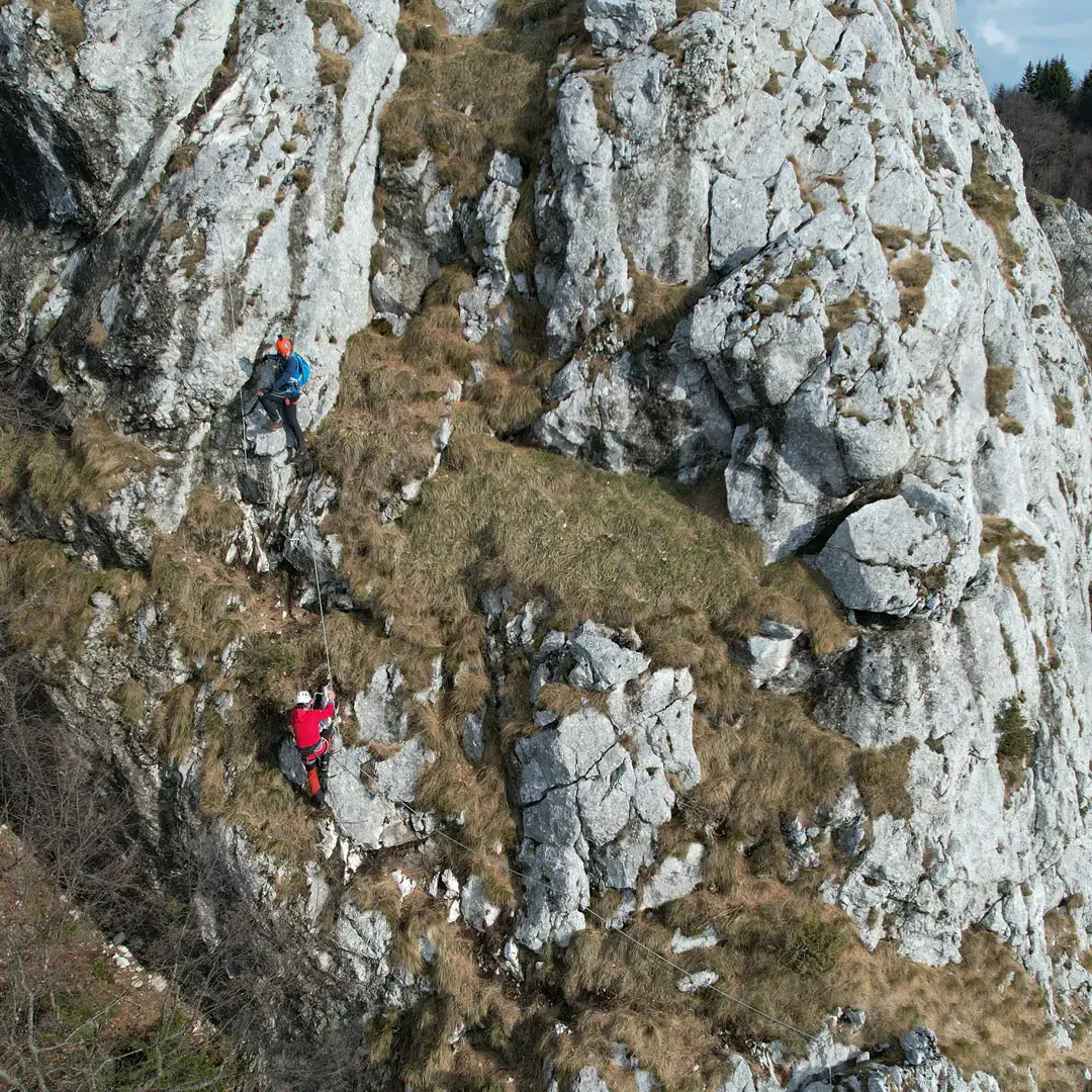
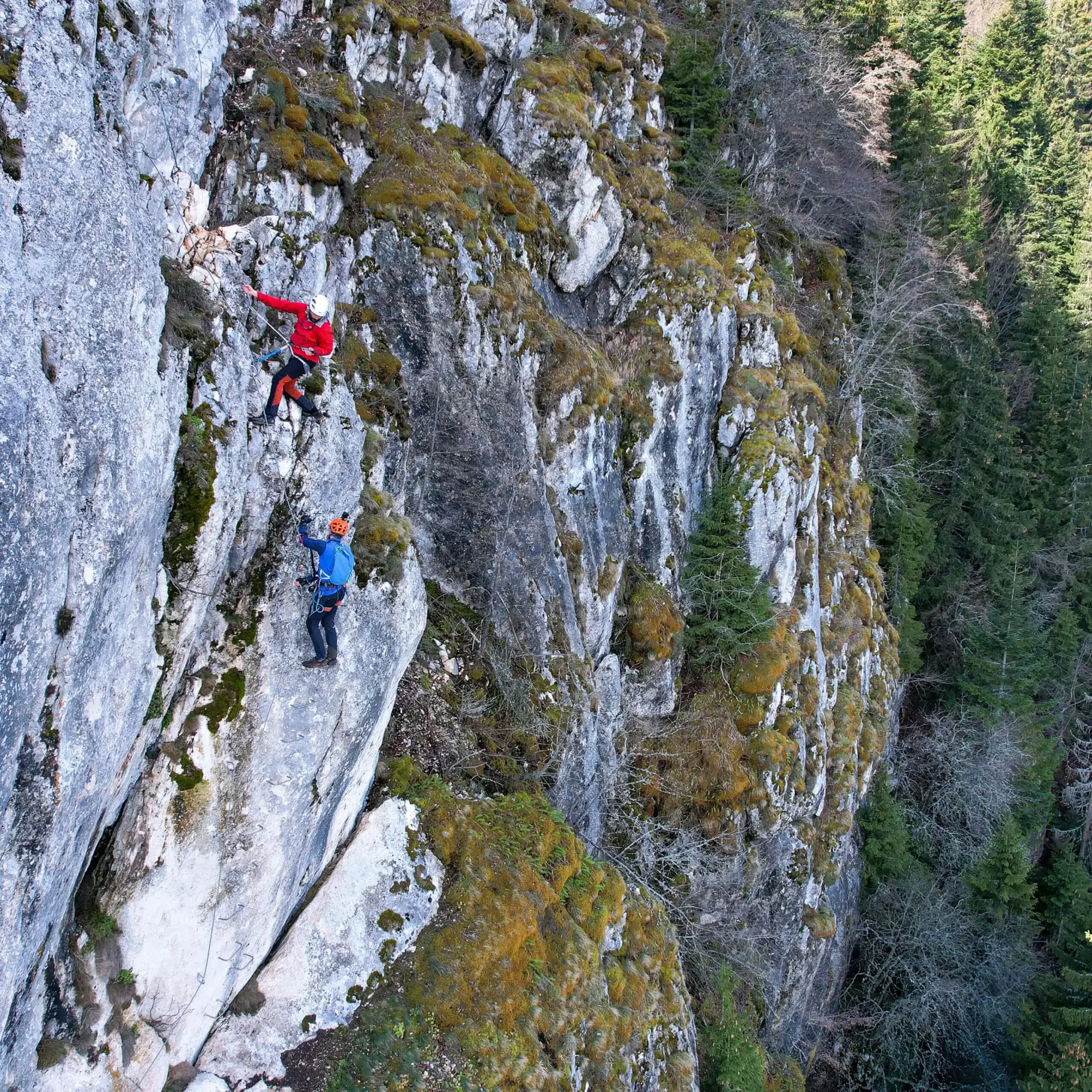
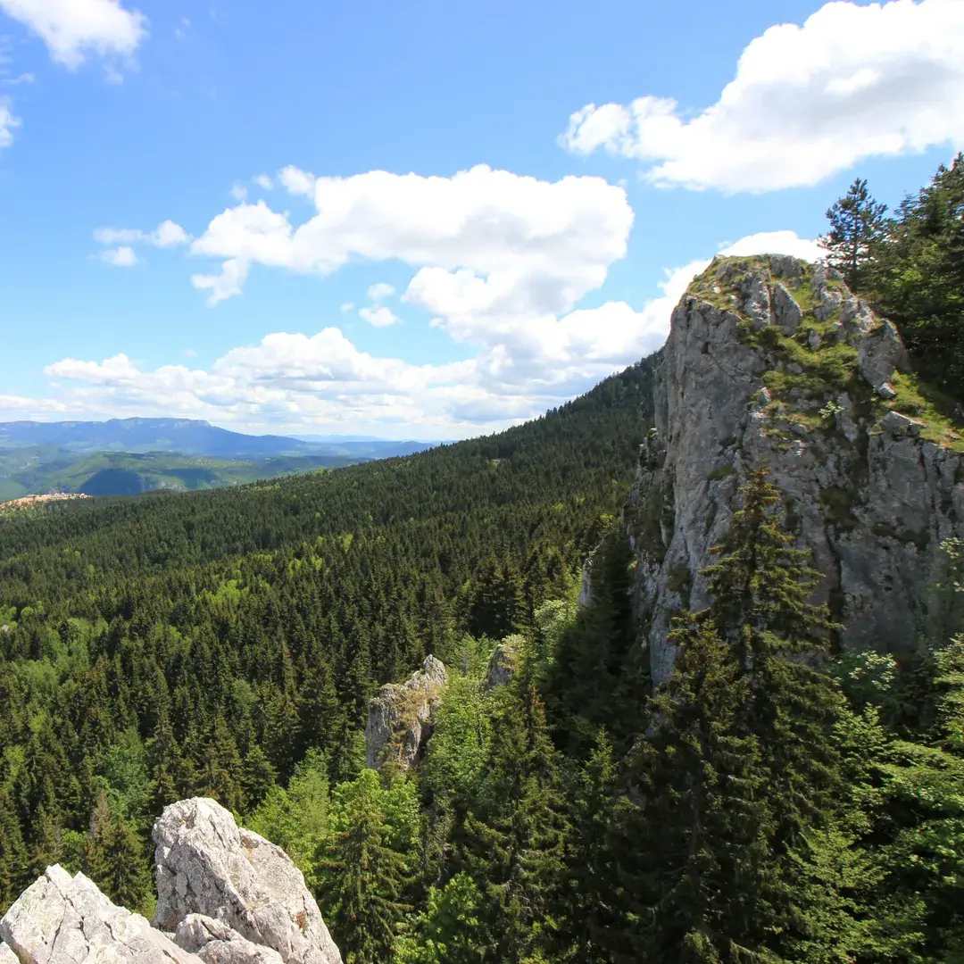
Lučica is a short, steep line above Nahorevo beside the Troskok waterfall. Its 70 metres of cable gain 62 metres, and the route combines A, B and C sections before reaching a viewpoint at about 1,225 metres. Allow around 20 minutes on the cable.
Via Ferrata Sarajevo built the route with support from the Sarajevo Canton tourist board. For the approach, drive through Nahorevo toward Skakavac and turn right toward the Lučica stream at the first large bend. From the parking place, follow the gravel road to the forest edge and continue on the waymarks.
The simplest return follows the same path. A longer alternative continues toward Močioci and Bukovik, linking Lučica with the wider trail network on Sarajevski Ozren.
How we know this
BOA has not inspected Lučica. The figures on this page come from published sources, not from our own survey. Cable and anchor condition changes. Nothing here is a substitute for checking the route yourself before you climb.
Condition reports
Written by visitors who have climbed Lučica, not by BOA, and not checked by us before they appear. Treat them as one climber's account on one day: useful, but never clearance to climb.
No condition reports yet. If you have climbed this route, yours would be the first.
Climbed it? Add a report
Keep exploring
Other routes close to this one
Distances are straight-line, not driving.